Contents
- 1 Choosing the Right Offline Map App for Hunting
- 2 Getting Ready: Planning and Downloading Maps at Home
- 3 Power Prep: Charging Devices and Backup Plans
- 4 Navigating in Remote Terrain: How I Use Offline Maps in the Field
- 5 Extra Uses for Offline Maps During Outdoor Adventure
- 6 Common Problems and Simple Solutions
- 7 Advanced Tips for Reliable Navigation in Untamed Terrain
- 8 RealWorld Examples: How I’ve Used Offline Maps for DIY Hunting Trips
- 9 Frequently Asked Questions About Using Offline Maps for Hunting
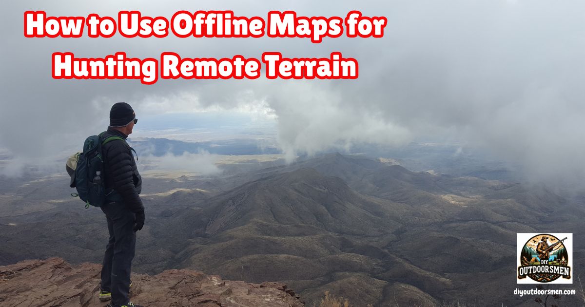
Offline maps have become one of my most important hunting tools, especially when I know I’ll be in terrain where even a weak signal just isn’t an option. Getting into remote hunting often means trekking through wild country that is far from the nearest cell tower.
QUICK LOOK: Tips for Using Offline Maps in Remote Locations
- Follow the Blue Dot: Most hunting apps show my real-time location as a blue dot. This dot moves as I hike, and the shaded arrow cone points wherever my phone is facing. It’s surprisingly accurate even in rough mountains.
- Check Terrain and Orientation: I cross-reference the nearby hills, creeks, and tree lines I see on the map with what’s in front of me. This keeps me aware of my surroundings, especially when moving through timber or heavy brush where sightlines are short.
- Mark Waypoints On the Go: As I spot rubs, wallows, or good glassing rocks, I drop pins for later. When I’m tracking an animal or looking for a way back to my camp, these pins make all the difference.
- Record My Track: I use the app’s tracking feature to record my steps. If I end up following a game trail too far, I can turn around and retrace my exact path. Knowing I have my track to follow back is a comfort. Especially as sunset gets close.
- Stay Inside the Saved Map: I pay attention to the edge of my downloaded map area. If details start to disappear, I know I’m nearing the border. A quick check helps prevent surprises that could leave me in an area with no map information.
I’ve found that relying on cell service for navigation is a gamble I’m not willing to take. Here’s my approach to using offline maps for navigating remote hunting terrain, with tips pulled from plenty of my own trial and error.
Choosing the Right Offline Map App for Hunting
I started by researching various hunting map apps. Not all navigation apps work well for hunting. I landed on options like onX Hunt, GOHUNT Maps, and Gaia GPS. These apps stand out because they offer layers geared towards hunters.
For example, I can check public versus private land boundaries, look at topographic detail, and overlay hunting unit boundaries. Satellite imagery is also available, which I’ve found useful when planning how to approach tough terrain or identifying clearings and water sources.
Standard options like Google Maps are handy for travel, but they just don’t offer the depth of information I need for remote hunting. If you’re not sure which to pick, check if the app offers a free trial, so you can get familiar before committing.
Getting Ready: Planning and Downloading Maps at Home
I always do my planning at home while I’ve got reliable Wi-Fi and a large screen. Here’s my step-by-step routine:
- Scout the Area Online: I log in to the web version of my hunting map app. The bigger display lets me scan satellite images, look for creeks, game trails, and open clearings.
- Mark Waypoints: I drop pins on camp spots, potential glassing hills, creek crossings, and my parking spot. Marking these ahead of time saves time and confusion later.
- Download Maps: Inside the app, I hunt for the “Offline Maps” or “Save Map” option. I select a box that covers my hunting area and a buffer zone in case I need to hike out another direction. I choose high resolution if available, since more detail makes a difference once I’m boots on the ground.
- Include All Layers: I make sure the map download includes public/private land layers, topography, parcel data, and hunting unit info. Missing a layer could mean walking onto the wrong property or getting lost in rough ground.
- Name My Maps: Giving each map file a clear name makes it easy to pull up the right area. I use names like “2024 Elk North Ridge” so I can find what I need in seconds.
I usually download maps that overlap slightly so there are no gaps between downloads. A small overlap keeps me from running into blank map screens by accident. Before finishing up, I check all downloads on my phone by switching Airplane Mode on, opening the map, and seeing what loads.
Power Prep: Charging Devices and Backup Plans
Nothing kills a hunt like a dead phone. I always charge my phone fully the night before and start my trip with the map app open and ready. Bringing at least one portable power bank is standard, especially for multiday hunts. In colder weather, I keep my phone insulated in my inside jacket pocket or a soft case.
Even though my phone is my main tool, I carry a paper map and compass as backup. I took the time to learn the basics of compass navigation, because electronics sometimes fail. I also let someone at home know what area I’ll be hunting in and when I expect to check in again.
When I’m ready to hunt, I put my phone in Airplane Mode before heading out. This preserves my battery and forces my mapping app to use only the offline maps. I leave my Location Services on, since GPS runs without a cell signal. Here’s how I get the most out of my offline maps:
- Follow the Blue Dot: Most hunting apps show my real-time location as a blue dot. This dot moves as I hike, and the shaded arrow cone points wherever my phone is facing. It’s surprisingly accurate even in rough mountains.
- Check Terrain and Orientation: I cross-reference the nearby hills, creeks, and tree lines I see on the map with what’s in front of me. This keeps me aware of my surroundings, especially when moving through timber or heavy brush where sightlines are short.
- Mark Waypoints On the Go: As I spot rubs, wallows, or good glassing rocks, I drop pins for later. When I’m tracking an animal or looking for a way back to my camp, these pins make all the difference.
- Record My Track: I use the app’s tracking feature to record my steps. If I end up following a game trail too far, I can turn around and retrace my exact path. Knowing I have my track to follow back is a comfort. Especially as sunset gets close.
- Stay Inside the Saved Map: I pay attention to the edge of my downloaded map area. If details start to disappear, I know I’m nearing the border. A quick check helps prevent surprises that could leave me in an area with no map information.
Extra Uses for Offline Maps During Outdoor Adventure
I quickly learned that offline maps are just as handy for hiking, scouting, and camping as they are for hunting. For long hikes, having trails, elevation lines, and waypoints already on my device is a game-changer. When camping in areas with spotty service, offline maps help locate water sources and alternative hiking routes.
If you’re into fishing or tracking down remote campsites, apps like onX Fish or Gaia GPS offer layers for paddling maps, river data, and public land access, too. When cycling or offroading, I load the relevant trail systems in advance and track where I go. Battery life stretches much longer with Airplane Mode on, which is a major plus for longer days out.
I’ve also found that offline maps are great for taking notes about interesting wildlife sightings or unique terrain features, so I can check back years later. Some people add notes about berry patches, shed locations, or best sunrise spots to help family or friends plan future adventures. Over time, the offline map becomes a personal logbook that tracks your progress and successes in the wild, helping you plan future trips with real data in hand.
Common Problems and Simple Solutions
- Battery Drain: Running GPS and screen brightness can burn through power. Carrying a backup power bank and keeping the phone screen off when not needed makes a difference.
- Storage Space Issues: High-resolution maps use more storage. I clear old downloads regularly and only keep current trip maps saved.
- GPS Drift: Dense timber or canyons may make your position jump around briefly. Pausing to let the GPS settle helps accuracy.
Why Backups are Really Important
I’ve learned not to put all my trust in one tool. Technology sometimes freezes, updates glitch, or the phone slips out of a pocket. Carrying a physical map, a working compass, and keeping my group spread out but in close enough touch are all habits that keep me safer and more confident.
Another tip: invest in a waterproof map case for your paper maps, especially for rainy climates or river crossings. This pays off the moment you run into unexpected weather or shallow streams. Practice using your compass regularly so it feels natural when you need it. The more comfortable you are with your backups, the less stressful it is if technology acts up.
For hunts that go deep into the backcountry, I save tracks from previous years and layer them with new plans. This history helps me avoid steep drainages or dead-end trails I’ve dealt with before. When using tracks, I can compare likely animal movements and better plan my sit locations.
Sometimes I premark potential glassing hills and bedding areas by studying topographic lines and satellite imagery in detail. I find this makes my scouting much more efficient. I also recommend downloading larger zone maps than you think you’ll need, since you might change your plans midhunt.
For big territories, organize maps by region and season so you’re never searching under pressure. If you’re hunting with friends, share your saved maps offline beforehand. That way, if one phone fails, someone else still has the data. Conservation groups sometimes release habitat overlays or fire history, so adding fresh data before each trip can give your planning a boost.
Lastly, I always update my map app before leaving so all the latest land boundaries and trail closures are loaded on my device. Checking for app updates might only take a minute, but it can save a lot of stress once I’m in the wild. Don’t forget to download user manuals or first aid checklists in PDF format in case you need offline help or reference.
RealWorld Examples: How I’ve Used Offline Maps for DIY Hunting Trips
- Elk Hunting in National Forest: I planned out route options in onX Hunt, downloaded them in advance, and found a previously unmapped meadow that was a hotspot during a rut cycle.
- Solo Mule Deer Stalk: Using dropping pins and following my GPS track, I felt comfortable bushwhacking through thick draws, knowing I could always retrace my steps even after a busted stalk.
- Backcountry Turkey Scouting: By saving overlapping topo maps in Gaia GPS, I had a record of remote water tanks and roost trees to check season after season.
Frequently Asked Questions About Using Offline Maps for Hunting
What if my app stops working out in the field?
If my app crashes or my phone battery dies, I fall back on the paper map and compass in my pack. I also try to learn the landmarks while moving, so I’m not totally reliant on screens.
Can offline maps really show my exact location with no cell service?
Yes, the GPS built into most smartphones works independently from cellular service. As long as the maps are downloaded and GPS is enabled, your position updates on the map using satellites overhead.
How do I make sure my maps have all the right hunting layers?
I double-check every map package before downloading to be certain it includes topographic, land status, and other layers I might need for hunting. If in doubt, I refer to the app’s help pages or reach out to customer service for confirmation.
What if I miss part of my hunt area during the download and end up with a gap?
To avoid this, I always save slightly overlapping sections, so there’s no coverage gap if I wander out of one map zone.
Most Recent Articles:
- How To Pack A Lightweight Backpack For DIY Backpack Hunting Trips
- Navigating The Hunt Application Process In The US

- Kodiak Canvas Cabin Lodge Tent

- Safety Tips For Hiking In Bear Country

- Camping And Hiking In The South San Juan Wilderness Of Colorado

- DIY Devils River Kayak Trip

As always, stay safe, enjoy the journey, and please try to leave it cleaner than you found it. If you have any comments, questions, ideas, or suggestions, please leave them in the comment section below, and I’ll get back to you ASAP. You can follow us on YouTube: Man Art Creations for videos of our DIY Adventures.
P.S. Thanks so much for checking out our blog; we really appreciate it. Just so you know, we may receive a commission if you click on some of the links that appear on our site. This helps us keep our content free and up-to-date for everyone. We appreciate your support!